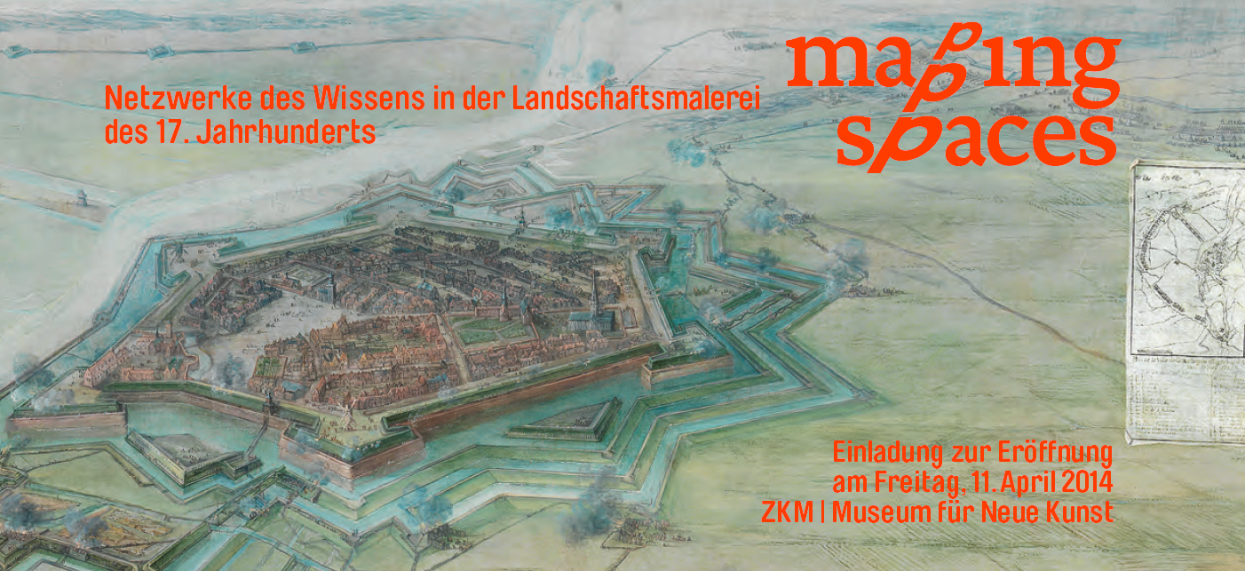
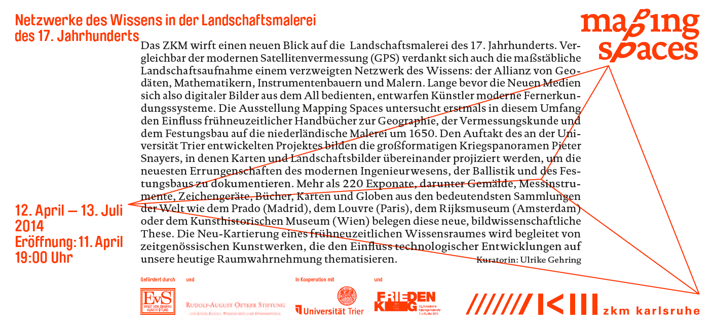
12 April – 13 July, 2014
An exhibition at the ZKM Museum of Contemporary Art
Opening: Fri, April 11, 2014, 7 p.m.
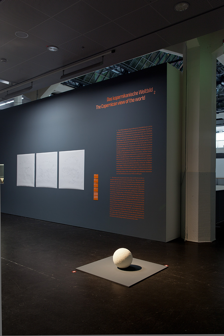
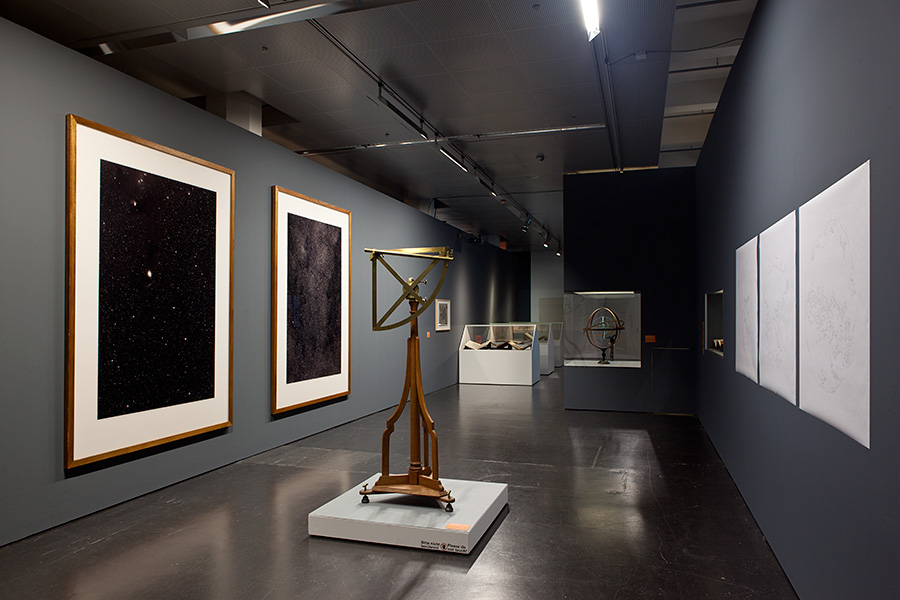
The ZKM throws new light on 17th century landscape painting. Comparable to modern satellite surveying (GPS), true to scale landscape representation is also indebted to the interdisciplinary exchange of knowledge: the alliance of geodesists, mathematicians, instrument makers and painters. Artists had designed modern surveying systems long before new media drew on images from outer space.
The exhibition Mapping Spaces examines, for the first time ever on this scale, the influence of early modern guide books in geography, the science of surveying and the construction of fortification on Dutch painting around 1650. The prelude to the project, developed at the University of Trier, is Pieter Snayers‘ large-format depiction of historical battle scenes, in which maps and landscape paintings are projected over one another so as to document the most recent developments in modern engineering, ballistics and the fortification construction.
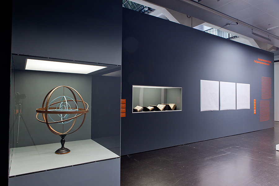
Over 220 exhibits, among them paintings, surveying instruments, graphics devices, books, maps and globes drawn from the most important collections of works, such as from the Prado (Madrid), the Louvre (Paris), the Rijksmuseum (Amsterdam) or the Kunsthistorischen Museum (Vienna) testify to these new theses in pictorial science. The new mapping of an early modern area of knowledge is accompanied by contemporary works of art that thematize the influence of technological developments on our present-day perception of space.
—
Das ZKM wirft einen neuen Blick auf die Landschaftsmalerei des 17. Jahrhunderts. Vergleichbar der modernen Satellitenvermessung (GPS) verdankt sich auch die maßstäbliche Landschaftsaufnahme einem verzweigten Netzwerk des Wissens: der Allianz von Geodäten, Mathematikern, Instrumentenbauern und Malern. Lange bevor die Neuen Medien sich also digitaler Bilder aus dem All bedienten, entwarfen Künstler moderne Fernerkundungssysteme.
Die Ausstellung „Mapping Spaces“ untersucht erstmals in diesem Umfang den Einfluss frühneuzeitlicher Handbücher zur Geographie, der Vermessungskunde und dem Festungsbau auf die niederländische Malerei um 1650. Den Auftakt des an der Universität Trier entwickelten Projektes bilden die großformatigen Kriegspanoramen Pieter Snayers, in denen Karten und Landschaftsbilder übereinander projiziert werden, um die neuesten Errungenschaften des modernen Ingenieurwesens, der Ballistik und des Festungsbaus zu dokumentieren.
Mehr als 220 Exponate, darunter Gemälde, Messinstrumente, Zeichengeräte, Bücher, Karten und Globen aus den bedeutendsten Sammlungen der Welt wie dem Prado (Madrid), dem Louvre (Paris), dem Rijksmuseum (Amsterdam) oder dem Kunsthistorischen Museum (Wien) belegen diese neue, bildwissenschaftliche These. Die Neu-Kartierung eines frühneuzeitlichen Wissensraumes wird begleitet von zeitgenössischen Kunstwerken, die den Einfluss technologischer Entwicklungen auf unsere heutige Raumwahrnehmung thematisieren.