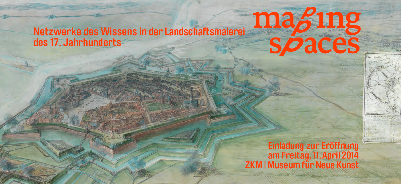
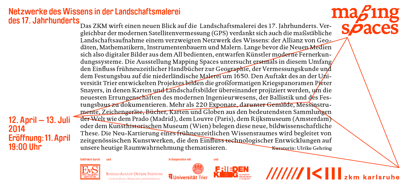
12 April – 13 July, 2014
An exhibition at the ZKM Museum of Contemporary Art
Opening: Fri, April 11, 2014, 7 p.m.
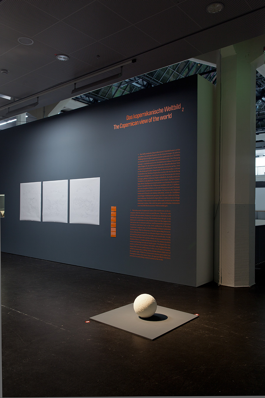
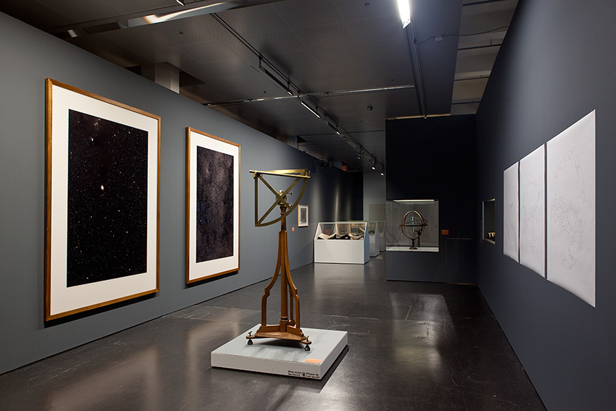
The ZKM sheds new light on 17th-century landscape painting. Comparable to modern satellite surveying (GPS), true-to-scale landscape representation also owes its existence to the interdisciplinary exchange of knowledge: the alliance of geodesists, mathematicians, instrument makers, and painters. Artists had designed modern surveying systems long before new media drew on images from outer space.
The exhibition “Mapping Spaces” examines, for the first time ever on this scale, the influence of early modern guidebooks on geography, the science of surveying, and the construction of fortification on Dutch painting around 1650. The project, developed at the University of Trier, begins with Pieter Snayers’ large-format depiction of historical battle scenes, in which maps and landscape paintings are projected over one another to document the latest developments in modern engineering, ballistics, and fortification construction.
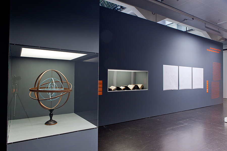
Over 220 exhibits, including paintings, surveying instruments, graphic devices, books, maps, and globes drawn from the most important collections worldwide, such as the Prado (Madrid), the Louvre (Paris), the Rijksmuseum (Amsterdam), and the Kunsthistorisches Museum (Vienna), testify to these new theses in pictorial science. The new mapping of an early modern area of knowledge is accompanied by contemporary works of art that explore the influence of technological developments on our present-day perception of space.